Remove maps-products places
article thumbnail

Four Reasons You Should Care about California Snow

Union of Concerned Scientists

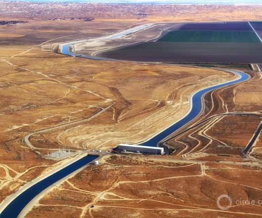
Three comparative maps of snow water equivalent (SWE) across California on April 1 in 2015, 2023, and 2024, based on data from the National Snow Analysis by the Office of Water Prediction. The maps use color gradations to indicate the depth of snow in inches. The light blue shading indicates average. However, it can’t last.

article thumbnail

Chilli peppers, coffee, wine: how the climate crisis is causing food shortages

Circle of Blue

Blistering heat, stronger storms, droughts, floods and fires are putting food production at risk.This article by The Guardian is published here as part of the global journalism collaboration Covering Climate Now. The climate crisis is increasing the intensity and frequency of extreme weather events – and it’s putting food production at risk.

Insiders

Sign Up for our Newsletter

This site is protected by reCAPTCHA and the Google Privacy Policy and Terms of Service apply.

article thumbnail

Greenwashing in Graphs: an ExxonMobil Story

Union of Concerned Scientists

Tables, graphs, and maps showcase the evidence and underlying data that scientists use to support their results and conclusions. This other variable can be one of many things leading to units like emissions per dollar of GDP, emissions per units produced, or as seen here, emissions per 100 metric tonnes of throughput or production.

article thumbnail

Illinois Has No Time to Waste in Building Its Carbon-Free Electricity Future

Union of Concerned Scientists

It seeks to identify places where solutions are needed, but does not select what those solutions should be, which can include reducing local electricity demand through energy efficiency or installing new renewable generation nearby (in addition to upgrading power lines or substations). What is power flow modeling and what is it telling us?

article thumbnail

Speaking of Water: “How Do We Consider Mass Resettlement Of The World Population?” With Parag Khanna

Circle of Blue

And he’s also author of Connectography: Mapping the Future of Global Civilization. JCG: First, I think I’m really interested in your fascination with maps and with both human and physical geography. PK: And we don’t make maps that properly represent the intersection and overlapping of these layers.

Politics 246
article thumbnail

Inequality hotspot map shows where women in agriculture are hit the hardest by the climate crisis

Frontiers

Now, researchers have developed a map showing localities where climate change risk for women in agri-food systems is especially high. The maps are potentially impactful as they can inform decision- and policymaking around gender-responsive climate action and guide the allocation of scarce resources to populations at highest risk.”

article thumbnail

Technology’s Role in Governing Sustainable Food Systems

Legal Planet

A few examples include corporate social responsibility and eco-certification programs, government extension services that provide management advice to producers, and traceability services that track a product as it moves through a supply chain. And this information must be codified and standardized so that it can be digitally transmitted.