By Beth Geiger, freelance writer
When Mathis Messager went around Puget Sound streets with his sci-fi looking ray gun, few of the curious people who spotted him would have guessed his real purpose: to help save Puget Sound’s iconic orcas.
As Messager knows, the link from such urban streets to orca welfare is alarmingly direct: stormwater runoff. Rain washes metals and chemicals—mainly from tires and brakes—and hydrocarbons into drains, streams and eventually, marine waters such as Puget Sound. The more pavement, the more runoff. Toxic runoff poisons marine life, especially salmon and orcas that feed on salmon. In fact, 75 percent of the pollution entering Puget Sound comes from stormwater runoff.
Stormwater runoff is a vast problem, calling for equally comprehensive—and yet somehow still attainable—solutions.

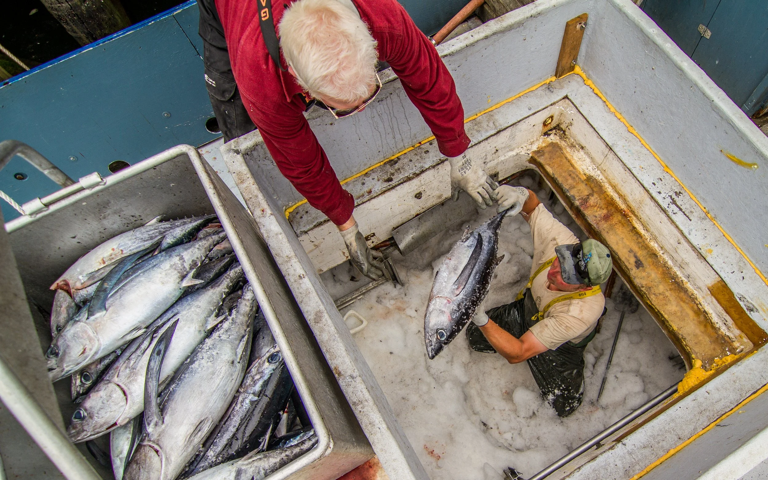
Toxics flow into Puget Sound and ultimately throughout the food web as we see this harbor seal feasting on salmon near Friday Harbor. © Phil Green/TNC
The Stormwater Trio
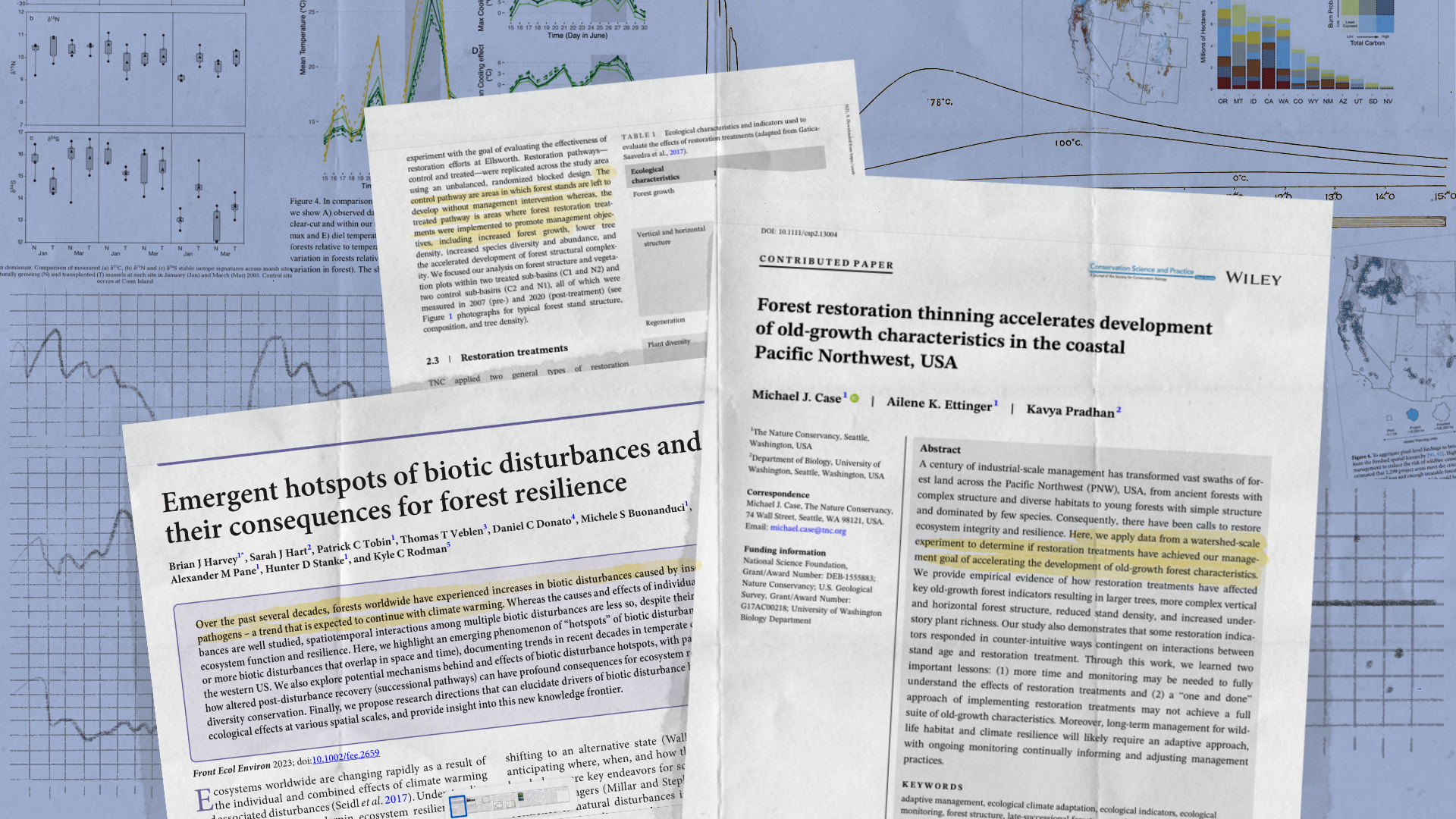
Messager’s study, published in the Science of the Total Environment in May 2021, is one of three papers recently published by teams of scientists from the Nature Conservancy, the Levin Laboratory, and NOAA. Together, they explore this critical question: How can we focus conservation resources to solve the problem of stormwater runoff at a manageable scale?
Dr. Phillip Levin, who leads the Levin Laboratory, calls the three papers the “Stormwater Trio.” Levin is lead scientist for the Conservancy’s Washington chapter and a professor of practice at the University of Washington’s College of the Environment.
X-Ray Vision for Runoff
So…why an x-ray gun? By aiming a portable x-ray machine—sometimes used to identify metals in the paint of old artworks—at moss clinging to trees, Messager was able to measure airborne metals. Moss has no roots, explained Messager. “It gets its nutrients from the air.” That makes it an ideal indicator for long-term, very localized, accumulations of airborne pollutants. To connect the dots from air to moss to streets to orcas, Messager explains that studies show that a large portion of urban metal pollution is initially airborne before settling on the road surface and being washed off by stormwater.
Mathis Messager climbs into a tree to sample moss for metals using a portable x-ray machine. Photo courtesy of Messager.
While Messager wrangled the X-ray gun, UW researcher and study co-author Ian Davies acquired traffic data by scraping data off Bing maps to see if it correlated with Messager’s field measurements. “We wanted to see if metal pollution could just be predicted from traffic maps, especially stop-and-go areas with lots of braking.”
Their results suggest yes. Using x-ray, the team found especially high levels of zinc and copper, as much as 23 times and 10 times higher than background, respectively. The denser and faster the traffic, the higher the levels, in part because faster moving vehicles also brake harder. The results indicate that traffic data alone are indeed a viable way to identify hotspots for toxic runoff with great precision, reducing the need for more direct, and difficult, runoff sampling. “So,” says Davies, “the method of using traffic data to identify metal pollution (in stormwater runoff) works.”
“We found that heavy traffic was correlated with the metal in mosses, and this airborne metal is what gets deposited onto streets and gets washed off into stormwater,”
Runoff sampling will still play an important role for getting actual contaminant concentrations, for future model development and calibration, for Clean Water Act enforcement and other uses, Messager said. But this approach allows for an initial cheap and rapid hotspot identification across large areas.
“I loved this project,” wrote Phil Levin. “It provides a cheap, scalable method to achieve durable conservation results in urban landscapes. And connects a series of wacky, clever, and creative approaches.”
A Tool for Targeted Solutions
Ailene Ettinger is a quantitative ecologist with the Nature Conservancy. Along with six other scientists from UW, Nature Conservancy, and NOAA, she created a powerful tool: a customizable decision-making framework to identify where to focus stormwater mitigation actions depending on the conservation goal
One size fits all is not a cost-effective strategy, explains Ettinger. “Knowing where hotspots [of urbanization effects, like heavy traffic,] are isn’t enough,” she says. Instead, the study emphasizes how important it is to establish specific goals first. Exactly what stormwater-related problem you are trying to solve? Human health? Orcas? Threats to a specific salmon species?
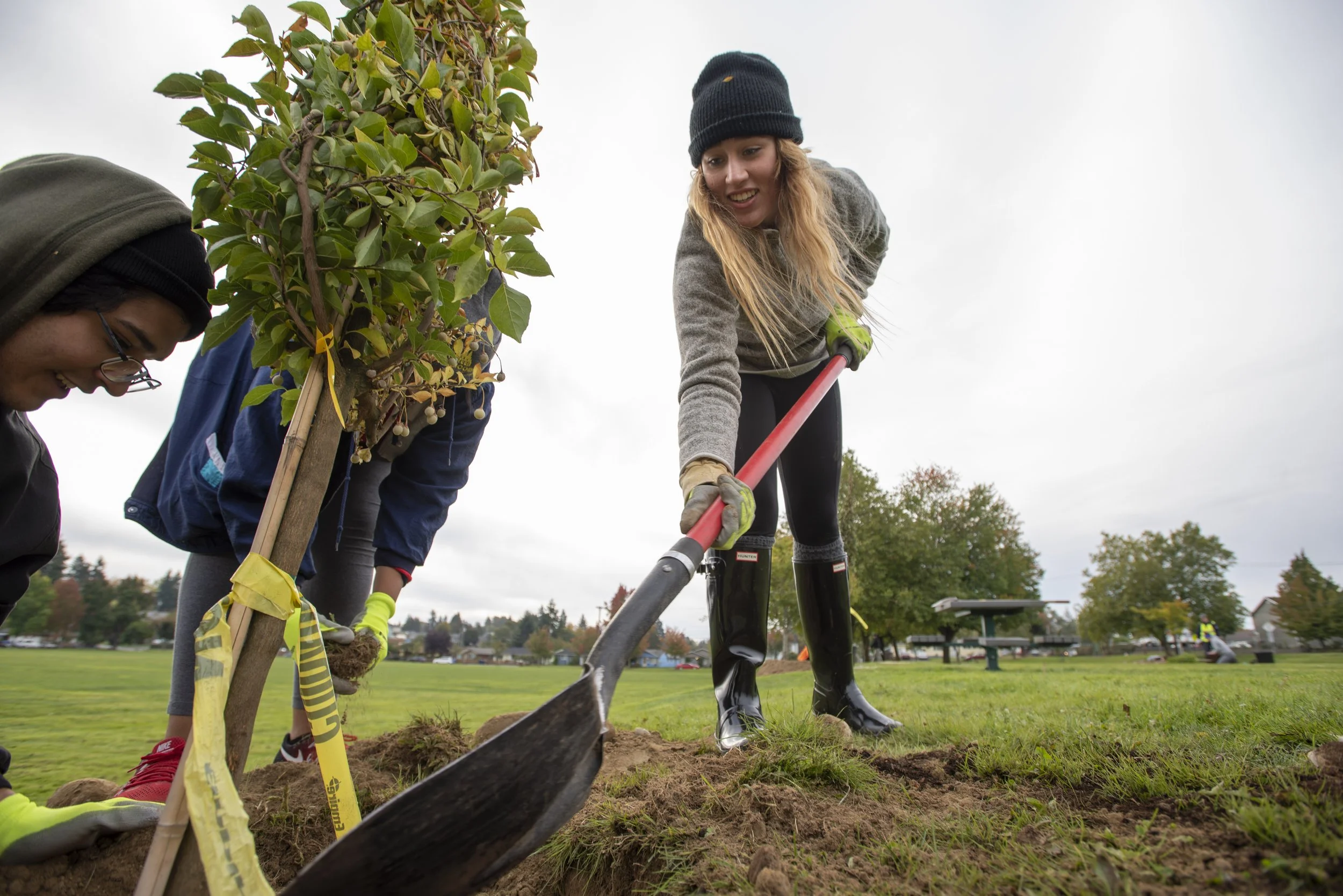
Volunteers install a community raingarden at a church in Kent, WA, as part of a parking lot transformation and blackberry-covered hillside reclamation. © Kelly Compton, volunteer photographer.
“Determining how to prioritize the treatment of stormwater…requires a clear articulation of objectives.”
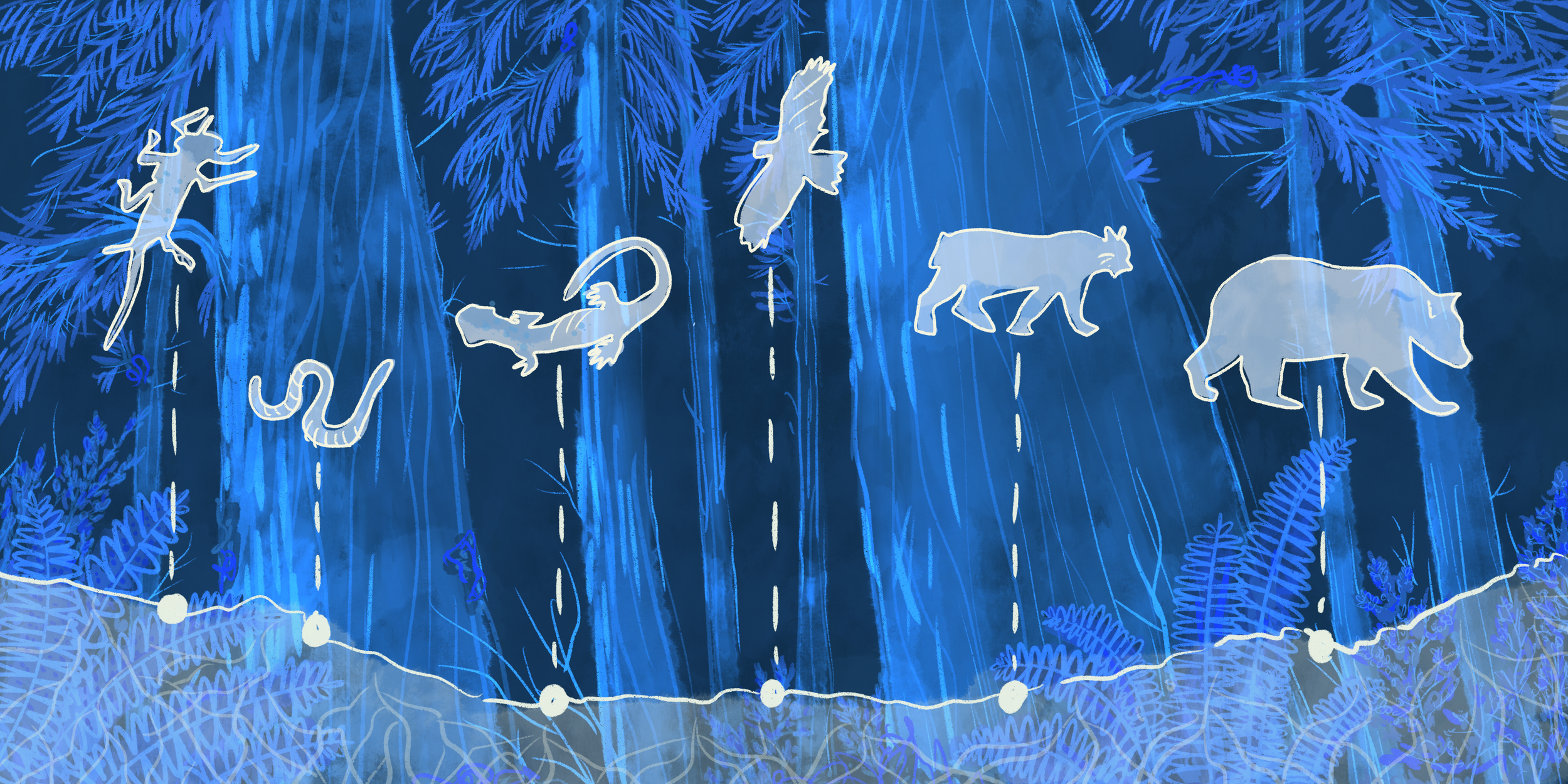
For example, Ettinger says, highly migratory species and species that accumulate toxins through foodwebs, like orcas, require conservation action at regional scales. On the other hand, to target species that react in acute, immediate ways to toxics, such as coho salmon, actions must be site specific.
Using salmon in the Puget Sound basin as a case study, the team dug deep into metrics that factor into cost-effective solutions. For example, coho are acutely sensitive to stormwater: as many as 80 percent die before they can spawn when exposed to stormwater runoff in an urban setting. Protecting coho, therefore requires very specific, site-dependent actions within the small stream basins where coho spawn, and particularly those watersheds fringing the Cascades foothills. Protecting Chinook salmon, on the other hand, means targeting different locations. Not only are the habitats used by Chinook and coho different from one another, but Chinook may be sensitive to stormwater pollutants at different life stages. A stormwater mitigation plan for Chinook would include lower mainstem river systems and estuaries in the Puget Sound lowlands where juvenile Chinook are most susceptible to contaminants.
Based on the case study, the team built a widely applicable matrix with three components: A conservation “metric” such as the quantity of habitat used by the species in a given area, a threshold level to which the environment must be restored to sustain the focal species, and the effort required to mitigate threats to reach that threshold.
The result is a tool that can be tailored to identify the best bang-for-conservation buck action for a range of stormwater related objectives. The paper, Prioritizing Conservation Actions in Urbanizing Landscapes, was published January 12, 2021 in Nature Scientific Reports.
Quantifying A Remarkable Payoff
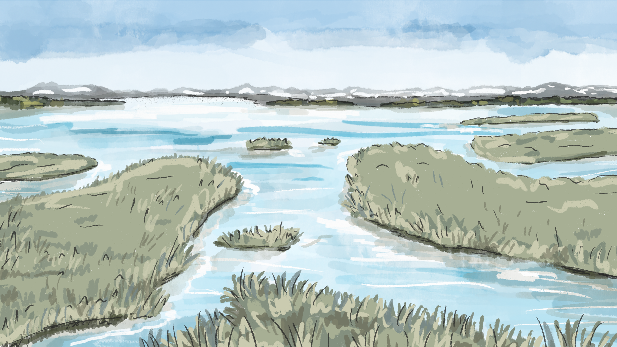
The third paper was led by Phil Levin and published November 2, 2021 in the Philosophical Proceedings of the Royal Society. Levin, along with The Nature Conservancy scientists Emily Howe and James Robertson, looked at stormwater pollution along a multistate stretch of the Pacific Coast. In particular, they studied impacts to the northern half of the California Current, a south-flowing current of cold water that supports highly productive marine fisheries and ecosystems off the Pacific coast.
Building on a stormwater heat map previously developed by Howe, Robertson, and Christian Nilsen at Geosyntec Consultants, the scientists overlayed multiple data sets, including precipitation, land use, stormwater outfall sampling data, and USGS watershed maps. From these data, they quantified the amount of total suspended solids in stormwater runoff generated in urban areas of over 10,000 people. Total suspended solids can be used as a proxy figure for stormwater pollution, Levin said.
The team determined that 51% of stormwater pollution in the northern California Current comes from just four urban basins. “If you are interested in toxics in killer whales, there are four cities to target—Seattle, Portland, San Francisco and Sacramento,” said Levin. The reason for this is that orcas migrate and forage for food generated across the whole of the northern California Current system.
The takeaway? To resolve 70 percent of the stormwater contamination in the study area, we only need to target 1.3 percent of the study area. Suddenly, that seems more do-able.
Triple Focus on Stormwater
Thanks to this trio of papers, scientists and managers now have better tools for tackling the stormwater problem at the right scales. “The three papers allow us to zero in on the geographic locations where species are most likely to be negatively impacted by stormwater, where we can achieve conservation gains for the least amount of cost, and what aspects of the geography need to be rectified in order to alleviate impacts on aquatic species,” says Emily Howe.
The ability to target solutions means easier decision making for municipalities and more scaled, cost-effective solutions. For example, Ian Davies points out that the hyper-local traffic study can inform where to install small parks that double as stormwater-filtering green infrastructure.
Stormwater runoff has clouded our waters and harmed marine life. Yet, with help from the Nature Conservancy and affiliates, manageable, cost-effective solutions are coming into focus.
Installing green infrastructure in the right places to treat stormwater will remove toxics immediately, Levin noted. “Our work shows that we can start work today to ensure we will have thriving salmon populations tomorrow.”