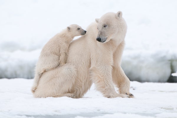
When he developed a drone-mounted radar system that could penetrate multiple layers of snow, Rolf-Ole Rydeng Jenssen imagined using it to measure snowfall or predict avalanches. Both applications would be helpful in subarctic Tromsø, Norway, where Jenssen works as an engineer at the interdisciplinary Norwegian Research Center (NORCE). But one January night a group of researchers called NORCE to ask about a very different use for the flying radar: finding hidden polar bears.
Pregnant polar bears build dens by digging holes in the snow in early winter, crawling in and letting fresh snow cover the entrance. Inside, the bears give birth while the snow shelters them and their newborn cubs from the harsh Arctic elements. But polar bear experts worry these animals may be too good at hiding. That’s why scientists at Polar Bears International (PBI), a research and conservation group, gave Jenssen a call. PBI has since been collaborating with him and other engineers on more effective ways to find polar bear dens during aerial surveys before humans stumble over and inadvertently destroy the dens.
During the winter, oil and gas companies transport rigs and other machinery through polar bear habitats in Alaska. “Over the past two years we’ve had four dens that we know of that were disturbed in the oil fields—all dens that were previously unknown before the bears just popped out,” says Susannah Woodruff, a polar bear researcher with the U.S. Fish and Wildlife Service. As oil and gas exploration expands in the Arctic, the likelihood of den disruptions increases; this ramps up the risks of harm to vulnerable cubs. And for a threatened species such as polar bears, these offspring are especially precious.
On supporting science journalism
If you're enjoying this article, consider supporting our award-winning journalism by subscribing. By purchasing a subscription you are helping to ensure the future of impactful stories about the discoveries and ideas shaping our world today.

A drone-mounted radar from interdisciplinary research institute NORCE in Svalbard, Norway. Credit: Kt Miller/Polar Bears International
U.S. government policies currently require oil and gas companies to survey their sites for bear dens in order to avoid disturbing them. The tool that companies typically use for this (called a forward-looking infrared, or FLIR, system), however, detects an animal’s bodily warmth amid the snow and only works under specific conditions. Warm weather weakens the heat signal from a polar bear, and deep or blowing snow obscures it. Additionally, using FLIR is a little like trying to scan the landscape through a smartphone camera—from an airplane. Users are bound to miss patches.
“When we looked back at how management agencies and industry were doing using this tool, the answer was ‘not that great,’” says Geoff York, PBI’s senior director of research and policy. A 2020 study co-authored by York found that FLIR failed to spot 55 percent of polar bear dens. Part of the problem is that the best weather windows for FLIR—which works better during particularly long cold periods—are now fewer and farther between because of climate change. And even under the best conditions, FLIR missed some of its targets. “Ultimately, we need to find some method that’s going to do a better job at detecting dens,” Woodruff says.
York and two colleagues came to the same conclusion while working on the freezing tundra several years ago. Frustrated with how the FLIR’s inaccuracy impacted their research, the trio started brainstorming. Radar eventually emerged as a feasible option because it works well in the conditions under which FLIR struggles. “They’re on the right track in terms of finding something that could maybe be used more frequently and isn’t weather-dependent,” says Woodruff, who isn’t involved in the radar work.
The concept behind using radar to detect polar bears is simple. The radar device is attached to a plane or drone and emits electromagnetic waves as it flies over the tundra. When the waves hit the ground, some reflect back to the radar device, and some penetrate deeper. The time it takes waves to bounce back indicates how far away a surface is. And the quantity of reflected waves differs for different types of surfaces, such as rocks, dirt, snow or water. A polar bear—which is essentially a container of water—will appear as an anomaly suspended in the snow.
Through a collaboration with radar specialists at Brigham Young University in 2021, PBI tested a radar device in Churchill, Manitoba, a town with one of the world’s highest concentrations of polar bears. Although they only took images of bears on the snow’s surface, the researchers showed in a paper published in Ursus in October that the radar detected 66 percent of bears.
Next, the researchers wanted to test the radar’s ability to actually peer inside dens in Norway’s Svalbard archipelago this past spring. Svalbard has a well-studied population of GPS-collared bears, so the researchers already knew many den locations and were thus prepared to confirm the radar’s results. The PBI team was discussing logistics with Jenssen’s colleagues at NORCE the day he joined the den project. That’s when they realized his drone-mounted radar platform was too enticing to pass up.
Jenssen’s system uses ultra-wideband radar, a type that has relatively high resolution. Whereas the radar PBI tested in Churchill had a resolution of around one meter, ultra-wideband radar could work at the centimeter scale. Jenssen had also specifically designed his device to use frequencies that could penetrate snow and assess its characteristics, such as whether it was hard-packed or fluffy. The researchers agreed a tool that gathered so much information on snow layers might be better than other radar platforms at detecting a polar bear’s signature in a den. One PBI researcher described Jenssen’s technique as a “slam dunk.” It was only six weeks between when Jenssen presented his research to PBI and when he left for Svalbard to test the radar. “I dropped everything else to do this,” he says.
During the trip, the researchers flew the drone over dens housing GPS-collared bears several times. Later, when analyzing the data, Jenssen picked out anomalies within the snow—and when they compared these with known bear positions based on the collars, the points aligned. “The initial results are very promising that this works,” Jenssen says. Still, he wants to collect more data before getting too excited.
York says that in winter 2024 the team plans to head to Alaska, where the United States Geological Survey will be putting new tags on polar bears. This will give the researchers their first opportunity to test their radar platforms head-to-head against FLIR. “We’ll be able to finally say with some certainty which tool is preferred or at least have a more robust discussion of the pros and cons for each choice,” York says.
He has seen firsthand how better detection could keep dens safe. Several years ago a polar bear denned next to an active road used by the oil and gas company BP. PBI, the U.S. Fish and Wildlife Service and BP monitored the den site and restricted traffic oil drilling until the bear left. “That was a nice success story of everybody working together,” York says. “That’s the kind of outcome we’d like to see.”